Walking in the Betuwe in the Netherlands
5 sample walks
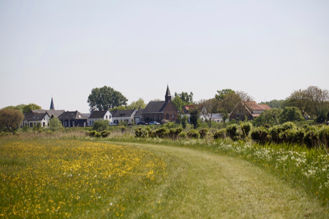
Traveling is not possible for a while due to the Corona measures. We should stay home as much as possible. For example, to keep moving a bit, walking in the Betuwe is a nice alternative. The Betuwe is a beautiful region in the west of Gelderland with fruit trees, meandering rivers, beautiful dike houses, attractive villages and historic fortresses, castles and long goods.
1. Walking on Estate Waardenburg and Neerijnen (6 km)
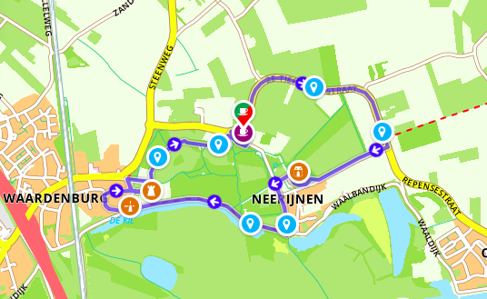
Waardenburg and Neerijnen are located in the beautiful flood plain “De Rijswaard” along the Waal. There are two special houses, a park forest, orchards and meadows. These are partly surrounded by wooded banks and deciduous forest.
Many walks can be found in and around Neerijnen. We found this 6 km walk
https://www.route.nl/wandelroute/738659/wandelen-over-landgoed-waardenburg-en-neerijnen
The starting point is at ‘Uit-spanning het Stroomhuis’, a catering location in an authentic switch house. You can park your car there and start your walk.
This walk goes along the polder to the Neerijnen estate. There you will find Huis Neerijnen, which was built around 1350. Around 1600 a new house was built (probably) on the foundations of the old house. Today the house is used as a town hall.
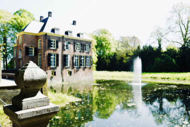
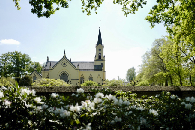
Then you walk along the castle garden to the beautiful Reformed church from 1865.
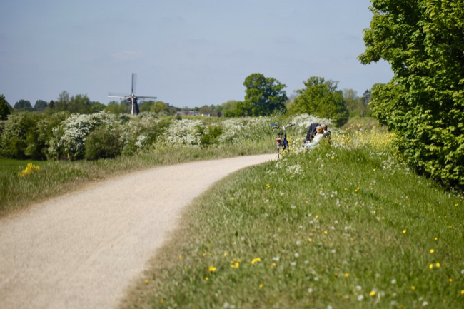
On the Waalbanddijk you walk past mill Waardenburg and castle Waardenburg.
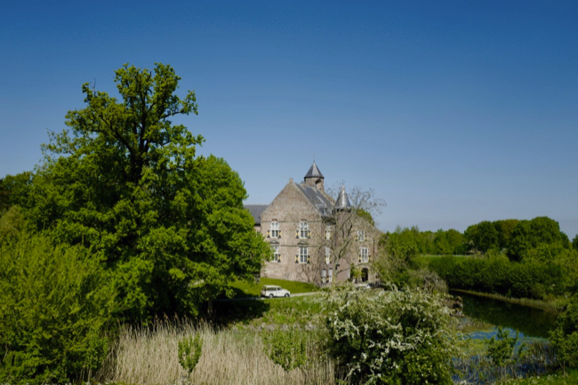
Castle Waardenburg, sometimes also called Weerdenburg, is a medieval castle from 1265. It was destroyed in the Eighty Years’ War. The current castle dates from the 17th century. Doctor Faust van Waardenburg is said to have spent his last years here.
2. Walking on Heerlijkheid Mariënwaerdt (Beesd)
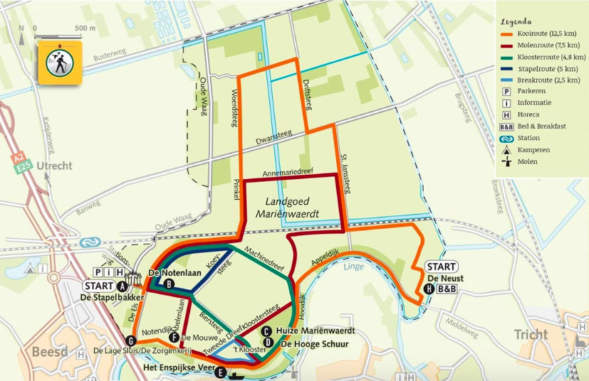
You can find other walks in the Betuwe on the estate of Heerlijkheid Mariënwaerdt. This estate and former abbey is located near the Gelderse town of Beesd. https://www.marienwaerdt.nl/landgoed/wandelen-en-fietsen/
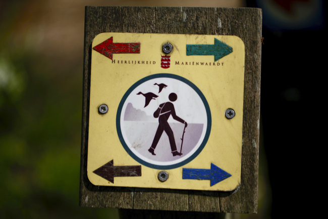
You can park the car at the Stapelbakker. We walked the windmill route ourselves the last time.
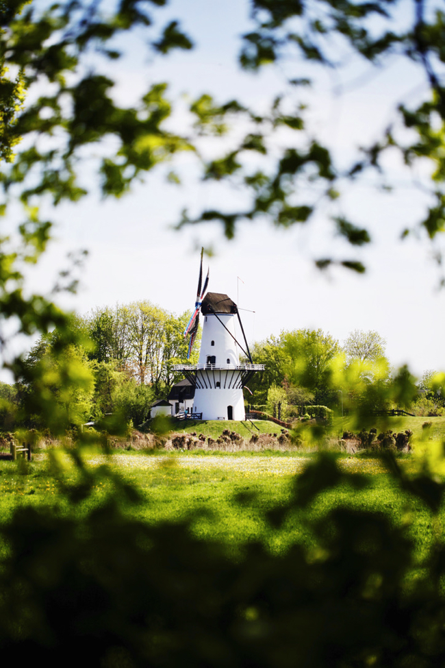
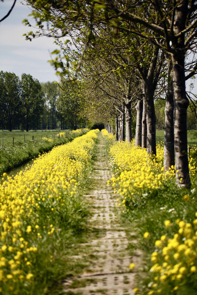
This walking route is 7.5 km long. You pass the white windmill called ‘De Vlinder’. It is a flour mill along the Linge, built in 1913 to replace an old seesaw mill that was destroyed by fire. Furthermore, the path runs along pilot whales, avenues near ancient trees and fields, the Hooge barn, Huize Mariëwaerdt and the famous Notenlaan.
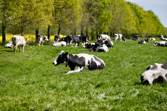
You can eat or drink at the Stapelbakker after your walk. Unfortunately, it is closed during Corona times.
3. Circular walk Acquoy-Fort Asperen (6 km)
Acquoy is a village in the municipality of West-Betuwe with about 550 inhabitants. Acquoy is located on a former, u-shaped side branch of the Linge, called the “Dead Linge”. The elongated village is located on the dike near a river bend and is one of the most beautiful villages along the Linge. It has therefore acquired the status of a protected townscape. Acquoy was once a Barony owned by the Oranges. One of Princess Beatrix’s titles is therefore still ‘Van Acquoy’. In 2019 André van Duin and Janny van der Heijden visited the village for the program “Thinking of Holland”.
This walk in the Betuwe of about 6 km goes through the village of Acquoy, via a gravel path to Fort Asperen, along a reconstructed trench, along the Linge and the Lappenheide nature reserve back to Acquoy.
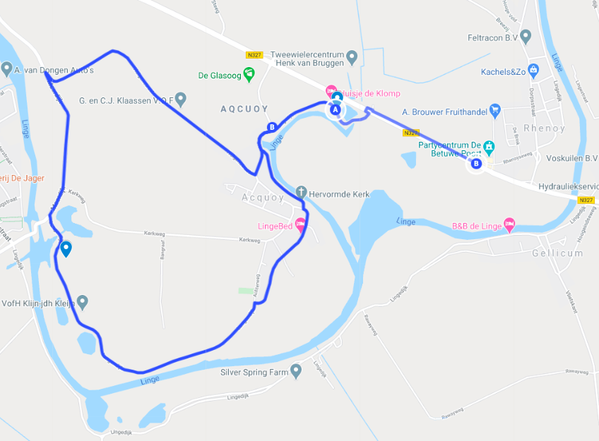
If you come by car you can park at Cafeteria Route 88 in Rhenoy. From there you walk a bit along the provincial road towards Leerdam. After primary school you go through the tunnel. You will then arrive at the Lingedijk and from there you already have a beautiful view of the Linge and the leaning tower of Acquoy across the street.
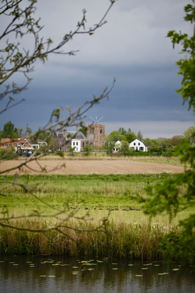
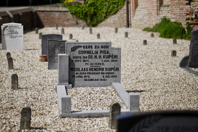
You walk further on the Lingedijk, where you then arrive at the Reformed church with the leaning tower. The tower has been out of plumb since its construction in the 15th century. The skewness is comparable to its famous Italian counterpart, the Tower of Pisa. It is striking that in the small cemetery with only 19 tombstones, the grave of one Mrs. Pisa can be found. Cornelia Pisa was married to the former reformed minister Nicolaas Hendrik Kuipéri. Because of Cornelia’s last name, and because the tower is tilted, it is referred to as the ‘Betuwe tower of Pisa’.
After the tower, turn left and at the end of the Lingedijk you turn left again. You are now walking on the Langendijk.
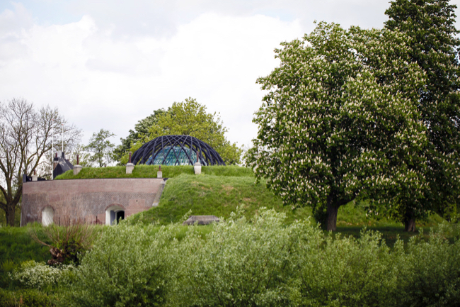
A gravel path that runs to Fort Asperen. Fort Asperen is a fort that was part of the Dutch Waterline. Nowadays you can admire contemporary art in a historical environment in the summer. For example, one work of art is particularly worthwhile: the colorful dome with glass slates covering the light shaft of the fort.
The Tavern at the fort is a pleasant place for lunch, dinner or drinks.
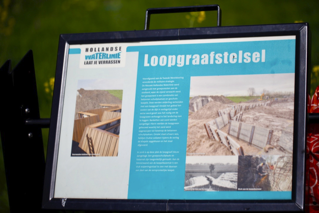
After the Fort de Meerdijk, turn right. On the right side of the dike you will find a reconstructed trench from the 2nd World War.
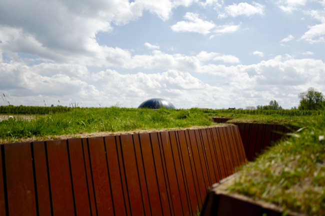
Go up the dike via the stairs, cross the dike and follow the path at the bottom of the dike on the left.
At the first large gate, go back up the dike, turn left and take the 1st right into Huigenstraat. On the left you see the Lappenheide nature reserve, where you can spot many different birds.
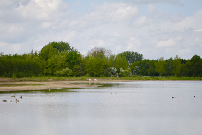
Once back in the village, turn left and then back onto the Lingedijk. From here you can walk back to Route 88.
4. Clog path Rhenoijsepad (14 of 9 km)
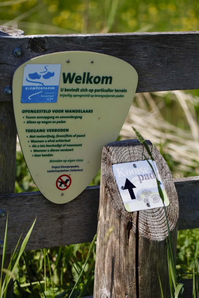
Another nice walk in the Betuwe, which runs through and around the villages of Acquoy and Rhenoy, is the Rhenoijsepad. You can find an extensive route on https://klompenpaden.nl/klompenpad/rhenoijschepad/
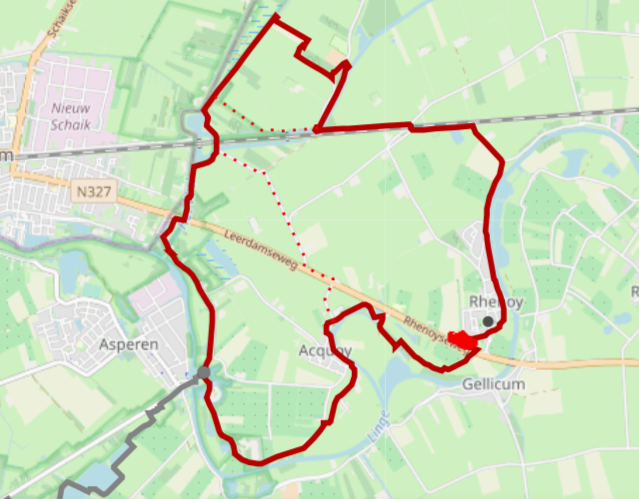
you can park at cafeteria route 88 in Rhenoy, but you can also start in other places. Since we live along that route, we start from home. The route is well marked and you can walk the route clockwise or counterclockwise. The whole walk is 14 km, but if you take the route shorteners, the walk is about 9 km.
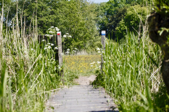
You walk through meadows, rural roads, over dikes along the Linge and through the villages of Rhenoy and Acquoy. If you take the long walk you will also walk along parts of the Dutch waterline such as Fort Asperen. You will not come across many benches along the way, but you can also rest in the grass along a ditch.
5. Clogpath Engelenburgerpad (6 of 10 km)
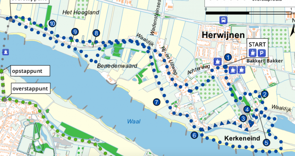
The Engelenburgerpad goes through Herwijnen, along the dike and the floodplains of the river Waal. It is a fun and varied walk, with little walking on asphalt. https://klompenpaden.nl/klompenpad/engelenburgerpad/
You start at the bakery and spar in Herwijnen. You can easily park your car there. Then you can walk the route in 2 directions. We walked clockwise.
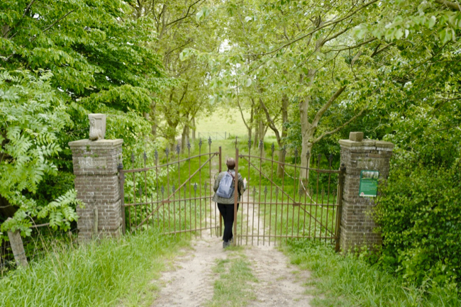
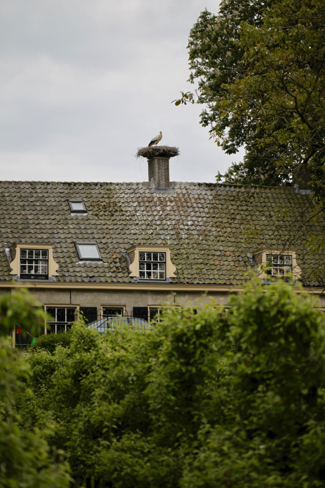
You first walk a bit through a fairly new neighborhood to a park that goes to the Waaldijk. Then you walk past some beautiful stately homes. There are a striking number of storks on stilts and on houses.
There is an active stork shelter in Herwijnen. They are committed to storks in and around Herwijnen. By the 1970s, the stork had virtually disappeared from the Netherlands. As part of the national rescue plan for the stork in the Netherlands, the Ooievaarsbuitenstation along the Waaldijk in Herwijnen was established in 1979. This rescue plan has been nationally successful for the past 40 years. In 2012, there were more than 800 breeding stork pairs in the Netherlands. In recent years, 18 stork pairs have been nesting on and around the Herwijnen outdoor stork station.
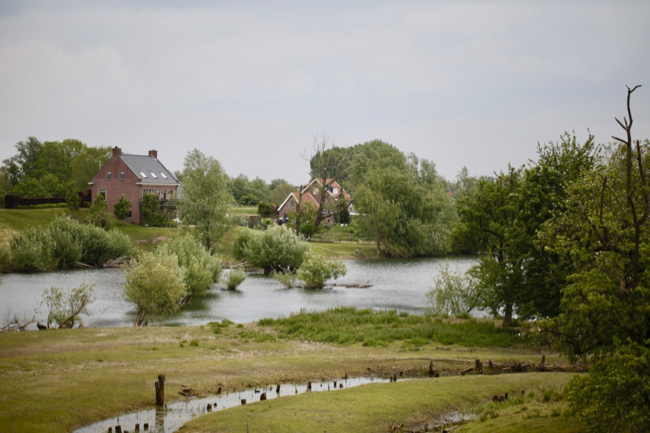
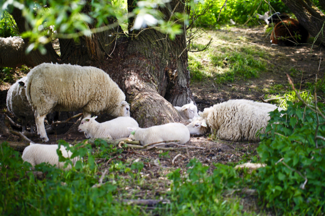
Then you walk towards the floodplains of the Waal, where you have a view of the beautiful surroundings along the river. You step over different gates, because there are also cows or sheep.
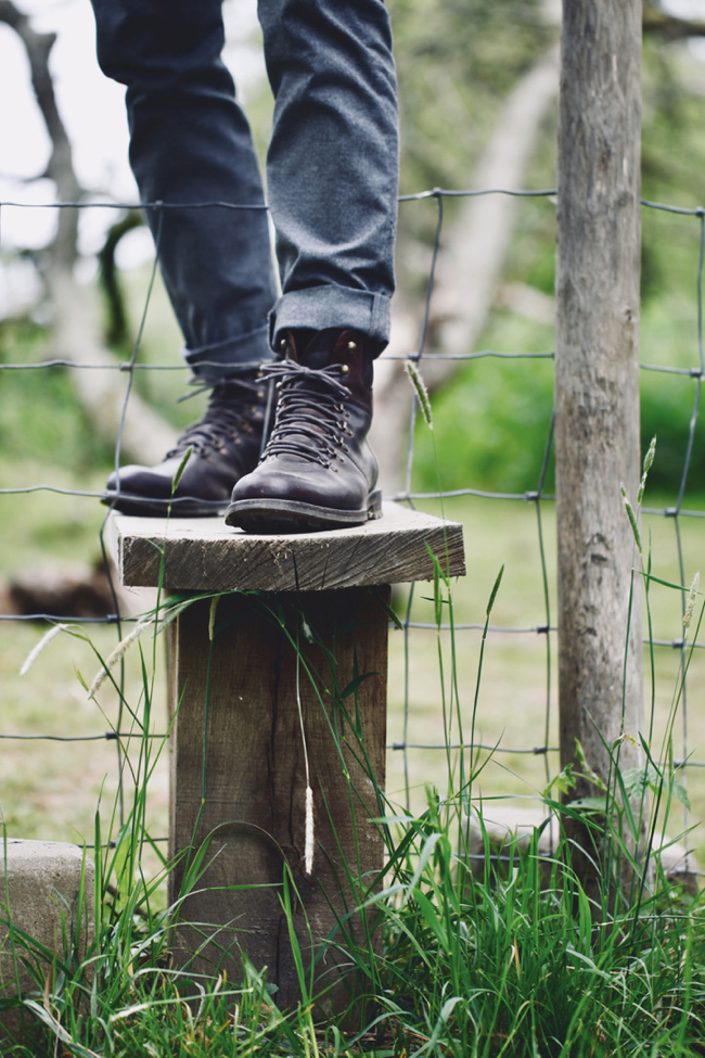
If you take the long route of 10 km, the path goes through the tall grass at the bottom of the dike.
At the ferry to Brakel you can change to a different path or cross the road to walk back on the other side of the dike over a grass path to Herwijnen. In Herwijnen, part of the route even goes through an apple orchard.
